Contents of this page may be automatically translated, we take no responsibility for the accuracy of the translation. Feel free to contact our customer support centre if you have any questions.

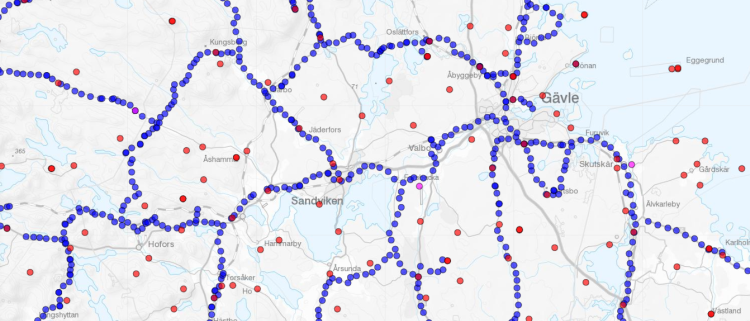
In the "Hitta stompunkt" (Find Geodetic Control Point) e-service, you can see geodetic control points in the national plane and height reference networks. The information is retrieved from the Digital Geodetic Archive.
Use our services

This is what you can do
From the service, you can export information about one or more main points, such as point descriptions (pdf) or coordinate lists (csv, k-file or GeoJSON). There are a total of 50,000 height benchmarks and 10,000 horizontal points to search among.
Contact the Geodesy Department if you have any questions about the service.

