Contents of this page may be automatically translated, we take no responsibility for the accuracy of the translation. Feel free to contact our customer support centre if you have any questions.

The Swedish national height system 1970, RH 70, is based on the second precise levelling of Sweden, which was carried out during the period 1951–1967. RH 70 was formally superseded by RH 2000 in 2005.
The use of RH 70
Before the introduction of RH 2000, some local levelling networks were connected to RH 70, although most of them were connected to RH 00. Today most of the local levelling networks are connected to RH 2000, which means that RH 70 and RH 00, to a large extent, have had their days.
There is a height correction model (N) for RH 70, called SWEN17_RH70, which can be used to convert ellipsoidal heights (h) (GNSS heights) to heights above sea level (H).
The second precise levelling
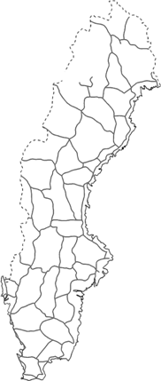
 RH 70, is based on the second precise levelling of Sweden, which was carried out during the period 1951–1967.
There were approximately 9 700 benchmarks in the RH 70 precise levelling network. The vertical datum (zero point) for RH 70 is the Normaal Amsterdams Peil (NAP), which is a point in Amsterdam that is used as the vertical datum in large parts of Western Europe.
By comparing the results from the first and the second precise levellings, the postglacial land uplift could, for the first time, be computed for the interior parts of Sweden (the postglacial uplift along the coast had been computed from tide gauge observations). Using these postglacial uplift data, all of the observations could be recomputed as if they had been made in year 1970, which thus is the epoch of RH 70.
System facts
- Vertical datum point: Normaal Amsterdam Peil (NAP)
- Reference epoch: Year 1970
- Type of heights: Normal heights
- Standard error: 1.63 mm/√km
- Corrections: Postglacial uplift, refraction, earth curvature, gravity, staff length etc.

