Contents of this page may be automatically translated, we take no responsibility for the accuracy of the translation. Feel free to contact our customer support centre if you have any questions.

Geodesy is the science of measuring the earth's surface and its gravity field. In Sweden, Lantmäteriet is responsible for the national geodetic infrastructure, i.e. geodetic reference systems as well as development of technology and methods for efficient positioning.
Research in geodesy
One of Lantmäteriet's tasks is conducting research in the field of geodesy. By actively following, supporting and participating in national and international research, we identify areas that are assessed as important for appropriate and sustainable development of the national geodetic infrastructure.
Since the beginning of the 2000s, Lantmäteriet, in collaboration with universities in Sweden, has trained researchers in the field of geodesy in the form of industrial PhD students. They have been financed by Lantmäteriet and the collaboration has resulted, among other things, in the following doctoral theses.
| Year | Title | Author | University |
|---|---|---|---|
| 2007 | Geodetic reference frames in presence of crustal deformations | Martin Lidberg | Chalmers University of Technology |
| 2013 | On modelling of postglacial gravity change (new window) | Per-Anders Olsson | Chalmers University of Technology |
| 2020 | GNSS hardware biases in code and carrier phase observables (new window) | Martin Håkansson | Royal Institute of Technology |
| Ongoing | (focuses on physical geodesy and height systems) | Anders Alfredsson | University of Gävle |
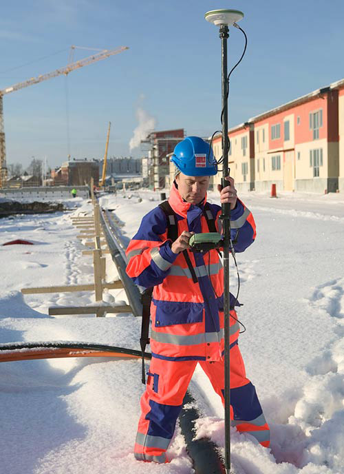
Satellite-based positionging at the centimetre accuracy level in real time is today taken for granted in Swedish civil engineering. Lantmäteriet's research on satellite signals, geodetic reference systems, deformations of the earth's crust, gravity and the geoid has created the conditions for this – something that users do not have to think about when using the geodetic infrastructure and services such as Swepos.
Contact information
Contact the Geodesy Department if you want more information about Lantmäteriet's research in the field of geodesy.


