Contents of this page may be automatically translated, we take no responsibility for the accuracy of the translation. Feel free to contact our customer support centre if you have any questions.

Sweden's national borders
Sweden has a national boundary on land towards Norway and towards Finland and their line routes need to be distinct in the terrain.

The definition of the national boundaries
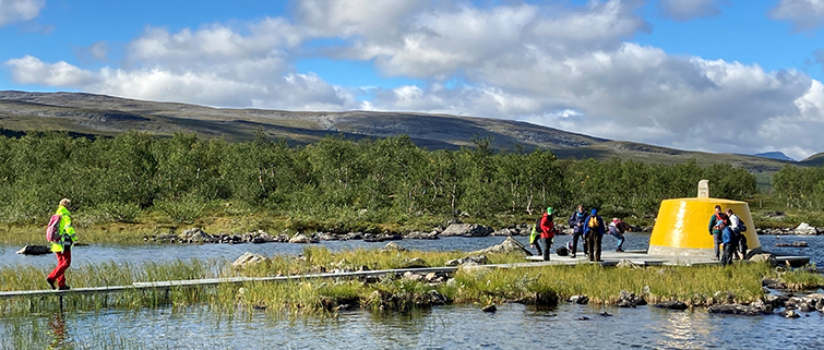
The national boundaries on land run not only on the ground itself, but also in lakes and rivers. On land, the boundary line is defined by erected boundary markers. These usually consist of large cairns, but can also be marked in other ways such as pipes in castings, bolts, boreholes, natural stones, memorial monuments or wooden poles (with sign). To further clarify the boundary's line route, other boundary markers with similar markings are also used, which, however, do not define the location of the boundary. In addition, the boundary markers (below the tree line) are connected by a five-metre-wide clearing.
Repetitive reviews
At regular intervals, more extensive national boundary work needs to be done in the form of a review of each national boundary. On these occasions, which occur approximately every 25 years for each national boundary, the Swedish government appoints a boundary commission at Lantmäteriet which carries out the review together with a corresponding boundary commission in Norway or Finland. A review of the national boundary between Sweden and Norway 2020–2024 is currently underway. You can find more information about this project in the menu.
See a short film from the review of the national boundary between Sweden and Norway 2020–2024:

